

AI Tool Upscales Satellite Imagery for Simulation | Halldale Group
AI Tool Upscales Satellite Imagery for Simulation
Contact Our Team
For more information about how Halldale can add value to your marketing and promotional campaigns or to discuss event exhibitor and sponsorship opportunities, contact our team to find out more
The Americas –
holly.foster@halldale.com
Rest of World –
jeremy@halldale.com
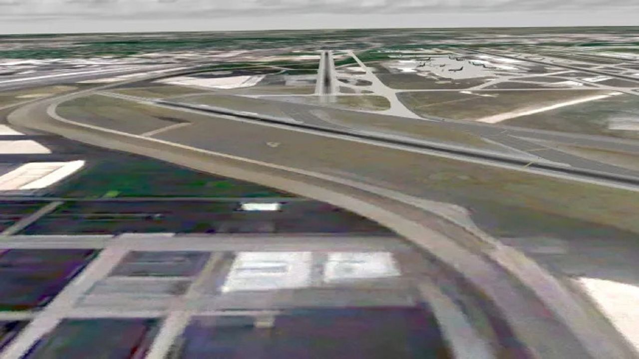
Quantum3D has introduced AI-powered image super-scaling for satellite imagery, expanding its terrain development portfolio. The technology enhances existing satellite imagery by up to 4×, providing higher-detail visual content for simulation and training while reducing the cost of acquiring and processing native high-resolution satellite data, according to the company.
Fixed-wing aircraft simulations typically require 0.25 to 1.0-meter resolution around airports, while rotary-wing, eVTOL and UAV/UAS simulations often require high-resolution imagery across larger areas, increasing costs. Quantum3D’s tools scale satellite images up to 400%, analyzing visual patterns and terrain features to sharpen road and building edges and improve texture across vegetation, soil, sand and rock surfaces.
The company offers two AI scaling tools: as, and an OGC CDB Terrain Enhancer that upgrades existing OGC CDB format terrains, generating up to two additional levels of detail and effectively quadrupling resolution
The technology also enhances Quantum3D’s CDB background terrain offering, which includes 15-meter global imagery and 10-meter imagery for the Continental United States, providing enhanced imagery at a 3.75-meter scale worldwide and 2.5-meter scale for U.S. coverage.
“AI is changing the economics of simulation,” said Murat Kose, CEO of Quantum3D. “Instead of assuming that every square kilometer needs expensive native high-resolution imagery, we can use AI to extract more value from the imagery we already have. Our 4× image super-scaling technology gives customers a faster, more scalable way to build high-fidelity synthetic environments and digital twins for modeling, simulation, training, testing, and operational applications.”
Featured

Civil AviationHAVELSAN at APATS 2026
6 August 2026
Civil AviationCAT Launches New Digital Civil Full Flight Simulator Census
15 June 2026
Events News HubWATS 2026 Launches Hands-On AI Implementation Workshop for Aviation Training Leaders
3 March 2026
Events News HubAPATS 2026 and the Training Demands of a Rapidly Expanding Region
24 February 2026
Civil AviationResearch Reveals Startling Gap in S&S Training For Cabin Crew
10 February 2026
Asia Pacific Aviation Training Summit 2026
The region’s most influential aviation training event, bringing together the full training community from across Asia-Pacific and beyond.
More events
