

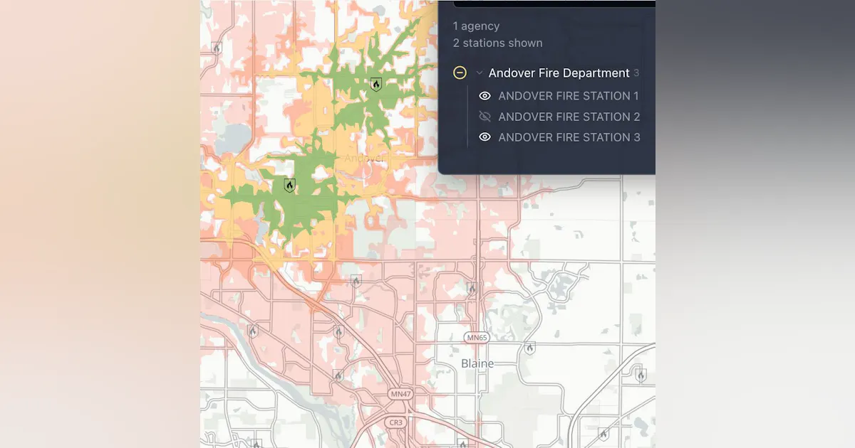
Echo Data Analytics has launched Stations, a free, public, interactive map of fire station drive-time coverage across the United States.
Stations displays over 60,000 fire stations across the country, using data from the public NERIS fire department registry. Each station shows drive-time coverage areas, showing how far fire trucks or regular vehicles can travel from the station in 4, 6, 8 and 14 minutes on real roads. These coverage rings are based on how fire apparatus actually move, not just ideal travel times.
You can explore everything on the map:
- Search for any department, station, or community and go directly to it.
- Select a department and share a direct link to its coverage area.
- Turn drive-time contours on or off and switch between different vehicle profiles.
- See each station’s coverage area next to its neighboring stations.
- Download your current map view as GeoJSON to use in your own GIS tools.
The site is free, and you don’t need an account. Visit stations.echodataanalytics.com to start exploring your community’s coverage.
Station locations are drawn from the public station registry of NERIS, the National Emergency Response Information System.
